Master GeoAI applied to natural resources
From GIS to foundation models: a complete, hands-on training grounded in the most current professional practices in geomatics.
64
lessons
5
modules
12
case studies
QGIS · Python
Free tools
GEE · PyTorch
Recent models
Why this academy
A researcher's teaching, held to field standards
Built by a researcher, not an influencer
Assistant professor and researcher in environmental geomatics, specialized in precision technologies applied to natural and forest resource management.
100% hands-on, from free software to cutting-edge models
QGIS, Sentinel, Random Forest, foundation models (Prithvi, Clay, AlphaEarth): every lesson ends with a concrete exercise and a usable deliverable.
A coherent progression, not disconnected videos
GIS, then remote sensing, then Machine Learning, then GeoAI: each module explicitly builds on the previous one, up to a full capstone project.
The path
The 4-module curriculum
52 lessons, each with a hands-on exercise. Every module ends with a full capstone project, a professional portfolio piece.
Module 1 — GIS and QGIS
The fundamentals, from free software to automation
A complete QGIS course: vector and raster data, projections, spatial analysis, georeferencing, queries, automation, and must-have plugins.
Capstone project
Map a forest area end-to-end: import, analysis, professional map, and report.
Module 2 — Remote Sensing
Reading and exploiting satellite imagery
Image sources, spectral indices (NDVI and many others), classification, change detection, radar (SAR), and the latest AI uses in remote sensing.
Capstone project
Track a forest area's evolution over 3 years and prioritize monitoring zones.
Module 3 — Machine Learning
Random Forest, regression, rigorous evaluation
Preparing a geospatial dataset, regression and classification, Random Forest in depth, model evaluation, clustering, and a practical intro to Python.
Capstone project
Estimate forest biomass for an area from field measurements and satellite data.
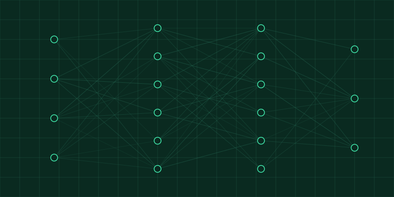
Module 4 — GeoAI
Foundation models, agents, and generative AI
Deep Learning applied to satellite imagery, reference foundation models (Prithvi, Clay, AlphaEarth), geospatial agents, ethics, and validation.
Capstone project
A capstone project combining all 4 modules for a fictional partner.
Launch is coming
Leave your email to be the first to know when enrollment opens, with a launch offer reserved for the waitlist.
No spam. One email at launch, that's it.